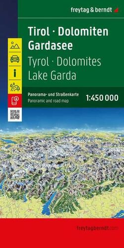


The South Tyrol road map on a scale of 1:150,000 is ideal for holidaymakers travelling by car, motorbike or caravan. The extensive road network is accurately depicted, and distances and many excursion destinations are marked on the map.
Information about the South Tyrol road map
Scale 1:150,000
Tourist information
With info guide
Campsites and parking spaces
Place index with postcodes
City map of Bolzano, Lienz, Merano
Approx. 122 x 90 cm
Car and motorbike drivers appreciate the precise cartography of freytag & berndt, especially for planning and orientation on site. Caravan and camper van drivers will of course find all campsites and parking spaces on the map.
Infoguide
The "Top Tips" series offers a small booklet in which the most important sights in the region are briefly described in several languages. (Languages: German, English, French, Italian).