

AA.VV
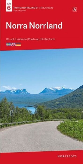
Northern Norrland at 1:400,000 in a series of GPS compatible touring road maps of Sweden produced by Norstedts Kartförlaget in cooperation with the countrys national survey organization and highlighting places of interest, campsites, recreational facilities, etc. The map includes Kiruna, Malmberget and Narvik in Norway.
The series covers southern and central Sweden at 1:250,000, with the north at 1:400,000. Spot heights and relief colouring in mountainous areas present the terrain; the maps also distinguish between forested and open areas, and show marshes and glaciers. Detailed road classification includes what is confusingly described in the map legend as private roads; these are unsurfaced roads, open to the general public but simply privately maintained. Selected hiking trails are also marked. Railway lines are shown with stations, car ferry routes and local airports are indicated. The maps also show boundaries of local administrative units, national parks and other protected areas, plus restricted entry military zones. Tourist information includes places of interest, campsites and youth hostels, golf courses, sport and recreational facilities, etc. Latitude and longitude lines are shown at intervals of 10'. Map legend includes English.