

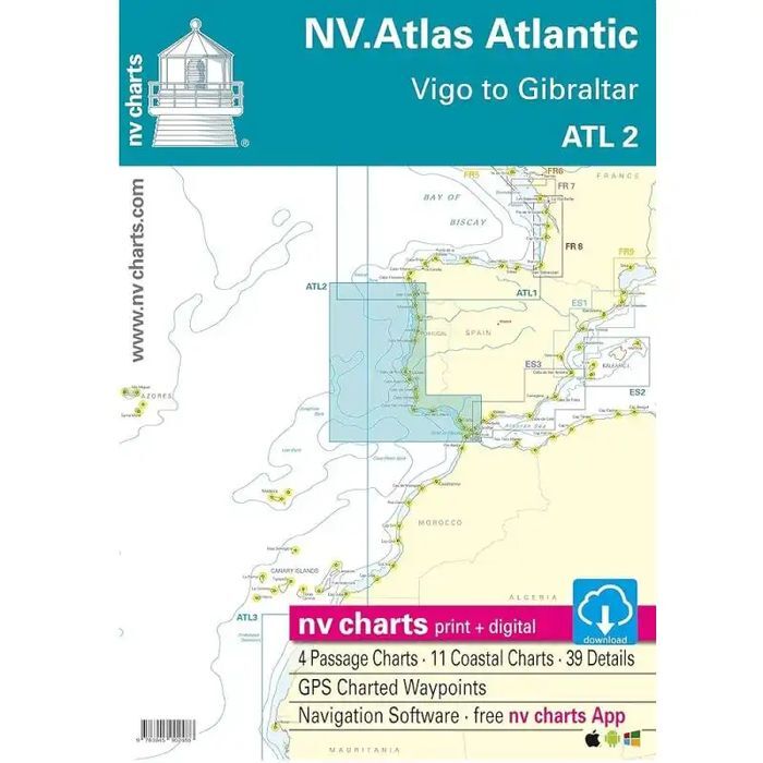
With the NV Charts Atlantic Atlas ATL2 you can navigate reliably from the Spanish Atlantic coast to the Strait of Gibraltar. Thanks to the clear layout, the recreational skipper can quickly find approaches, harbours and anchorages and is informed of navigationally important details that also appear in the NV Charts app. The chart series impresses with its optimal dimensions and balanced sheet sections.
Regions overview
To continue travelling from the Spanish Atlantic coast to Portugal, there is no way around the ATL2. Portugal has recently established itself more and more as a water sports destination, as the year-round winds are a good prerequisite for exciting sailing trips. Although the centres of yachting tend to be around Lisbon, there are plenty of marinas for stopovers in other cities, such as Porto, Figueira da Foz or Aveiro. Caution: Be aware of the tidal range, which is often between 3-4 metres here. As soon as you reach the Algarve, it becomes more sheltered and you are lulled by the lagoons. From there, it is not far to one of the busiest waterways in the world - the Strait of Gibraltar - to reach the Mediterranean.
As a further recommendation for this map set, we recommend the NV Charts Atlantic ATL3, which will take you to the Azores, Madeira or the Canary Islands. If you want to travel further into the Mediterranean, the NV Charts Spain ES3 is the right choice. Heading north, you can continue with the NV Charts Atlantic ATL1 towards the Bay of Biscay and northern Spain.
This chart set includes
4 &sailors
11 territory cards
39 detailed maps
Digital charts for navigation program and NV Charts App 356-day licence
Navigation instructions in English
Tide tables
Harbour plans paper & digital
Fulfils all legal requirements for up-to-date paper charts on board